The CSKT-Montana Water Compact
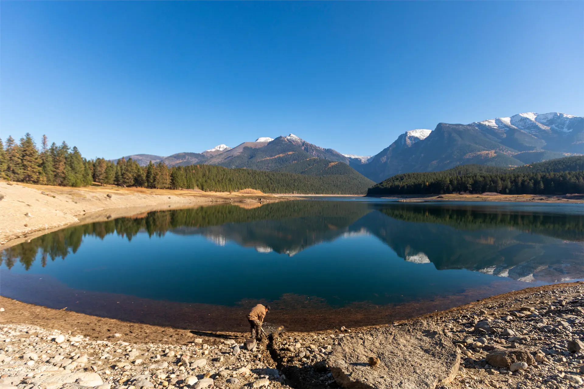
The Compact is an agreement between CSKT, the State of Montana and the United States, made to fulfill the quantification of the Séliš, Ql̓ispé and Ksanka water rights as guaranteed through the 1855 Hellgate Treaty.
It was approved by the Confederated Salish and Kootenai Tribes, the Montana Legislature and the United States Congress, and became effective on September 17, 2021, following approval by the U.S. Secretary of the Interior.
On May 12, 2026, the Montana Water Court approved the Compact, marking the completion of decades of negotiation and legal proceedings. The final decree confirms the Tribes' water rights and establishes the legal framework for administering them.
How water rights are governed now
When the Compact took effect, the Flathead Reservation Water Management Board was established under the Unitary Administration and Management Ordinance. The Board is independent of the Tribes and the State, and is the exclusive regulatory body for water rights administration on the Flathead Indian Reservation.
Tribal members or allottees who wish to register an existing use as part of the Tribal Water Right should contact the Tribal Water Rights Registration Office. The deadline for existing use registrations is September 17, 2026.
Tribal-language names on this page are taken from DEWR's current website. In the live site, Salish and Kootenai words and place names are reviewed by the Culture Committees through DEWR before publication (Addendum 1, Q28 and Q29).
Milestones
Approved by the Montana Water Court
On May 12, 2026 the Water Court approved the Compact. The final decree confirms the Tribes' water rights.
Questions about the Compact
Common questions answered from DEWR's published information, with a link to the source every time.
Concept for the optional “Seth Bot” (Addendum 1, Q48). It answers only from DEWR-approved text and always shows its source.
Compact appendices
44 documents, with Montana DNRC maps where they exist. Filter by keyword or appendix number. Proposed Ordinance (Appendix 4).
44 of 44 appendices
- 1Hydrologic Basin MapsPDF, 14 pages, 4.4 MB, Oct 2026
- 2FIIP Influence Area MapPDF, 1 page, 1.0 MB, Oct 2026
- 3.1(TIFs), Minimum Reservoir Pool ElevationsPDF, 9 pages, 912 KB, Oct 2026
- 3.2River Diversion Allowances (RDAs)PDF, 8 pages, 2.5 MB, Oct 2026
- 3.3Historic Farm DeliveriesPDF, 2 pages, 617 KB, Oct 2026
- 3.4Implementation SchedulePDF, 8 pages, 1.1 MB, Oct 2026
- 3.5Adaptive Management and CITTPDF, 9 pages, 329 KB, Oct 2026
- 3.6Rehabilitation and BettermentPDF, 8 pages, 286 KB, Oct 2026
- 3.7Determination of Wet, Norman, and Dry YearsPDF, 10 pages, 486 KB, Oct 2026
- 4Proposed Unitary Administration and Management OrdinancePDF, 124 pages, 444 KB, Oct 2026
- 5.2FIIP Abstracts in 76L and 76LJPDF, 46 pages, 81 KB, Oct 2026 · Maps (DNRC)
- 6Map of Non-FIIP Historic Irrigated Acres Lands Eligible for RegistrationPDF, 2 pages, 522 KB, Oct 2026
- 7Bureau of Reclamation Modeling ReportPDF, 43 pages, 3.6 MB, Oct 2026
- 8State Biological Constraints EvaluationPDF, 15 pages, 1.2 MB, Oct 2026
- 9.2Flathead System Compact Water AbstractPDF, 3 pages, 14 KB, Oct 2026 · Maps (DNRC)
- 10Natural Node Instream Flow AbstractsPDF, 203 pages, 375 KB, Oct 2026 · Maps (DNRC)
- 11.2FIIP Instream Flow Nodes AbstractsPDF, 66 pages, 126 KB, Oct 2026 · Maps (DNRC)
- 12.2Other Instream Flow AbstractsPDF, 99 pages, 203 KB, Oct 2026 · Maps (DNRC)
- 13Interim Instream Flows and Interim Reservoir Pool ElevationsPDF, 2 pages, 230 KB, Oct 2026
- 14Interim Instream Flow ProtocolsPDF, 1 page, 218 KB, Oct 2026
- 15FIIP Reservoir Minimum Pool AbstractsPDF, 15 pages, 33 KB, Oct 2026 · Maps (DNRC)
- 16.2Wetlands AbstractsPDF, 24 pages, 47 KB, Oct 2026 · Maps (DNRC)
- 17.2High Mountain Lakes AbstractsPDF, 13 pages, 30 KB, Oct 2026 · Maps (DNRC)
- 18.2Flathead Lake AbstractPDF, 2 pages, 10 KB, Oct 2026 · Maps (DNRC)
- 19.2Boulder Creek Hydroelectric Project AbstractPDF, 1 page, 9 KB, Oct 2026 · Maps (DNRC)
- 20.2Hellroaring Hydroelectric Project AbstractPDF, 3 pages, 13 KB, Oct 2026 · Maps (DNRC)
- 21.2MTFWP Wetlands AbstractsPDF, 6 pages, 17 KB, Oct 2026 · Maps (DNRC)
- 22MTFWP Claim Number 76L 153988-00 to be Co-Owned by TribesPDF, 1 page, 58 KB, Oct 2026
- 23.2U.S. Fish and Wildlife Service (USFWS) Wetland AbstractsPDF, 4 pages, 13 KB, Oct 2026 · Maps (DNRC)
- 24USFWS Claims to be Co-Owned by TribesPDF, 6 pages, 270 KB, Oct 2026
- 25.2Kootenai Mainstem Instream Flow Right AbstractPDF, 4 pages, 137 KB, Oct 2026
- Swan Mainstem Instream Flow Right AbstractPDF, 3 pages, 378 KB, Oct 2026
- 27Lower Clark Fork Mainstem Instream Flow Right AbstractPDF, 2 pages, 11 KB, Oct 2026
- 28Montana FWP Claims to be Decreed as Part of the CompactPDF, 1 page, 84 KB, Oct 2026
- 29Montana FWP Claims Not to be Decreed as Part of the CompactPDF, 1 page, 138 KB, Oct 2026
- 30.2Milltown Water Right AbstractsPDF, 7 pages, 19 KB, Oct 2026
- 31Former Milltown Dam Instream Flow Enforceable Level Technical DocumentPDF, 5 pages, 183 KB, Oct 2026
- 322004 DNRC-MTFWP Painted Rocks ContractPDF, 10 pages, 195 KB, Oct 2026
- 331958 Painted Rocks Contract Including AmendmentPDF, 4 pages, 174 KB, Oct 2026
- 341994 Montana FWP-Bureau of Reclamation Lake Como ContractPDF, 5 pages, 433 KB, Oct 2026
- 35Placid Creek Instream Flow Right AbstractPDF, 1 page, 10 KB, Oct 2026 · Maps (DNRC)
- 36Kootenai River Tributary Instream Flow AbstractsPDF, 8 pages, 22 KB, Oct 2026
- 37Flathead Reservation Unitary Water Management Board FormsPDF, 28 pages, 611 KB, Oct 2026
- 38Flathead Proposed Preliminary DecreePDF, 41 pages, 1.4 MB, Oct 2026